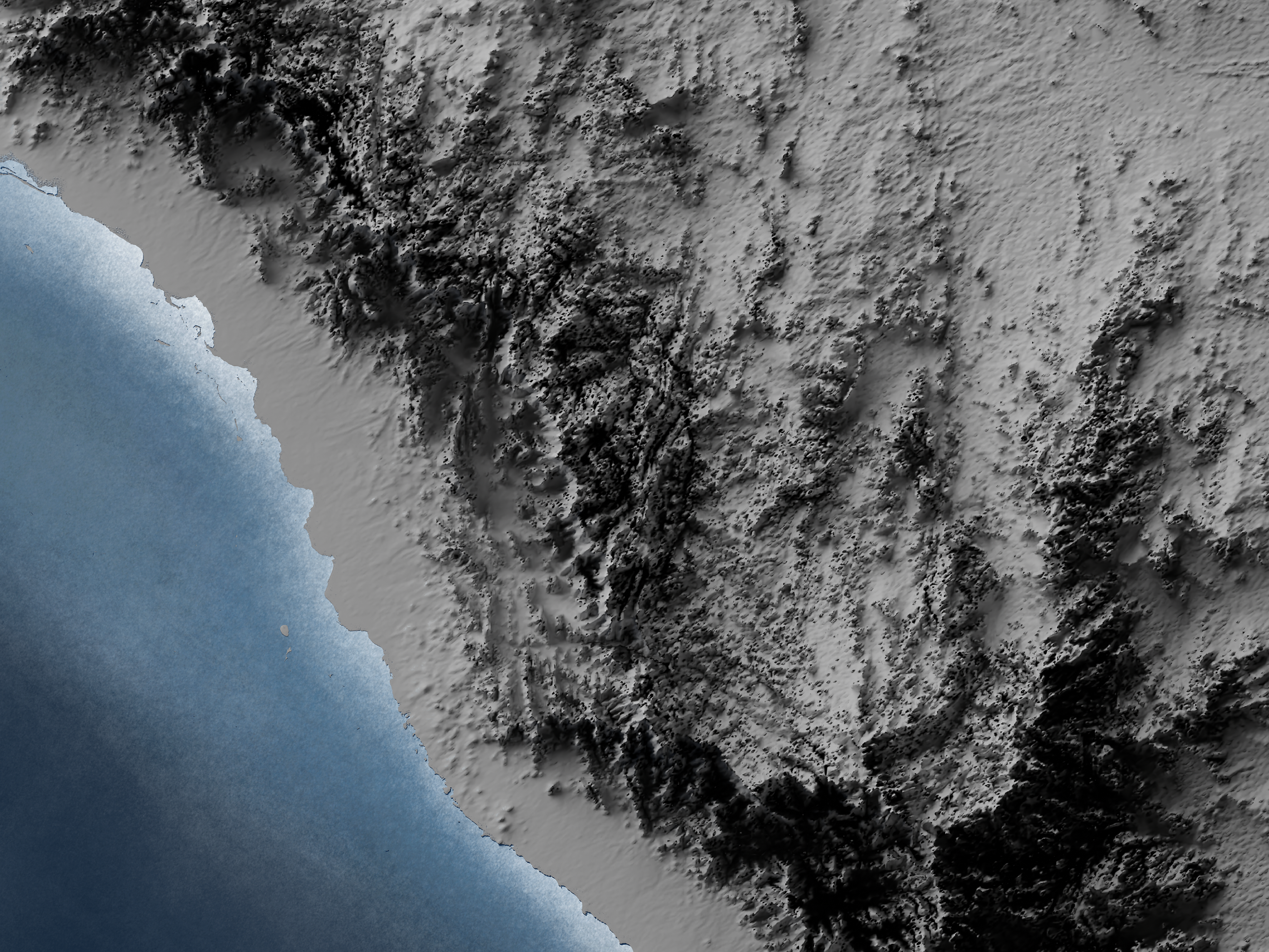
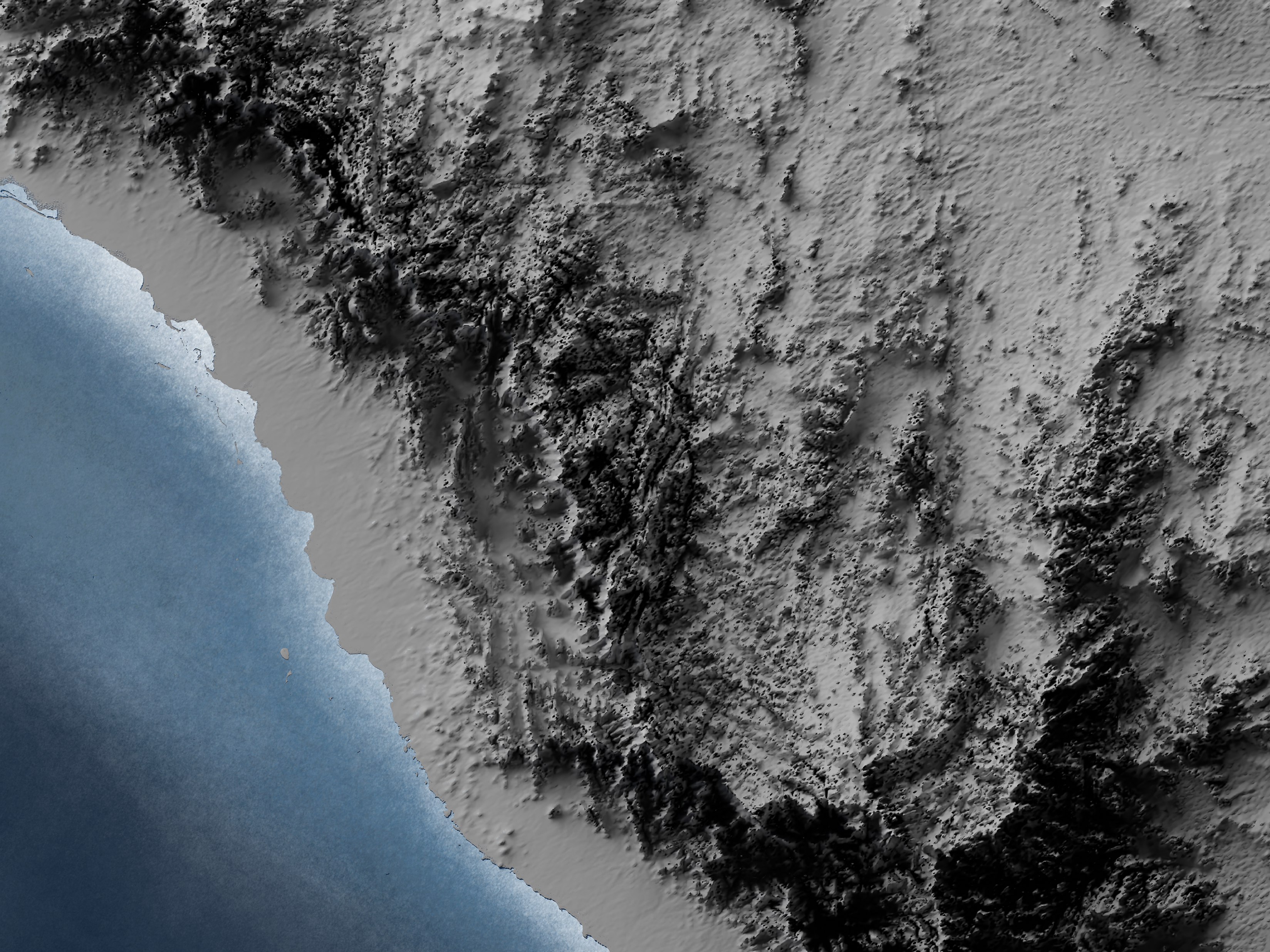
Recently, I worked on visualizing Mars's surface as a 3D model in Blender. Additionally, I reviewed an elevation surface layer for Mars in ArcGIS Pro, utilizing DEM data obtained from NASA's website.
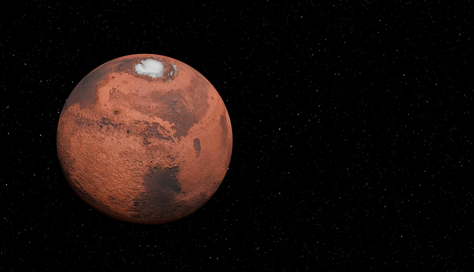
In 1975, NASA successfully launched two spacecraft as part of the Viking program. The Viking Orbiter captured the imagery used to produce this Colorized Global Image Mosaic with a spatial resolution of approximately 230 meters per pixel.