I created Hillshade maps using QGIS, ArcGIS Pro, and Blender for the southwestern region of Saudi Arabia, particularly the Hejaz mountain range along the Tihama plain. This area includes the highest peak in Saudi Arabia, Jabal Sawda, located 20 km from Abha.
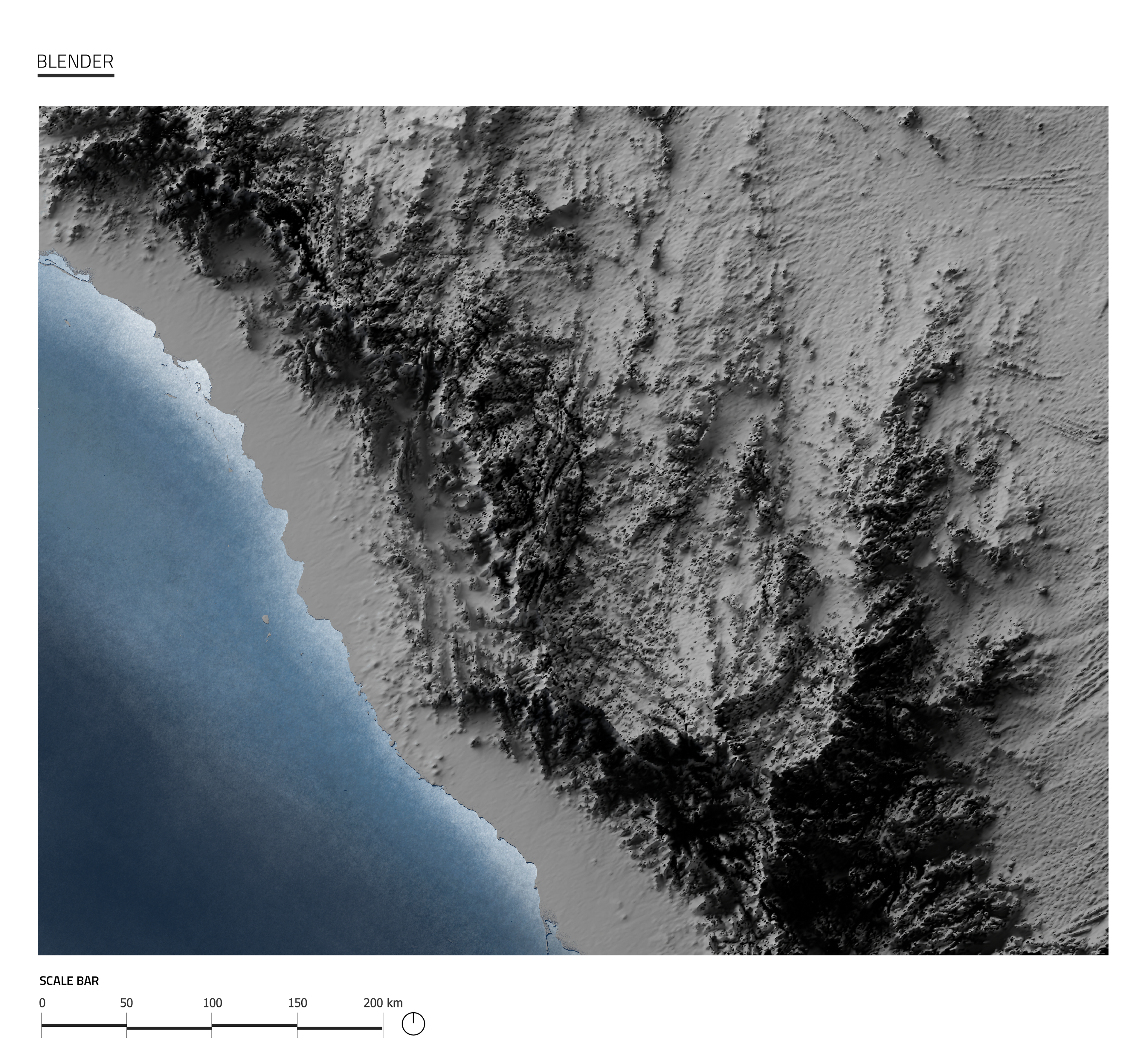
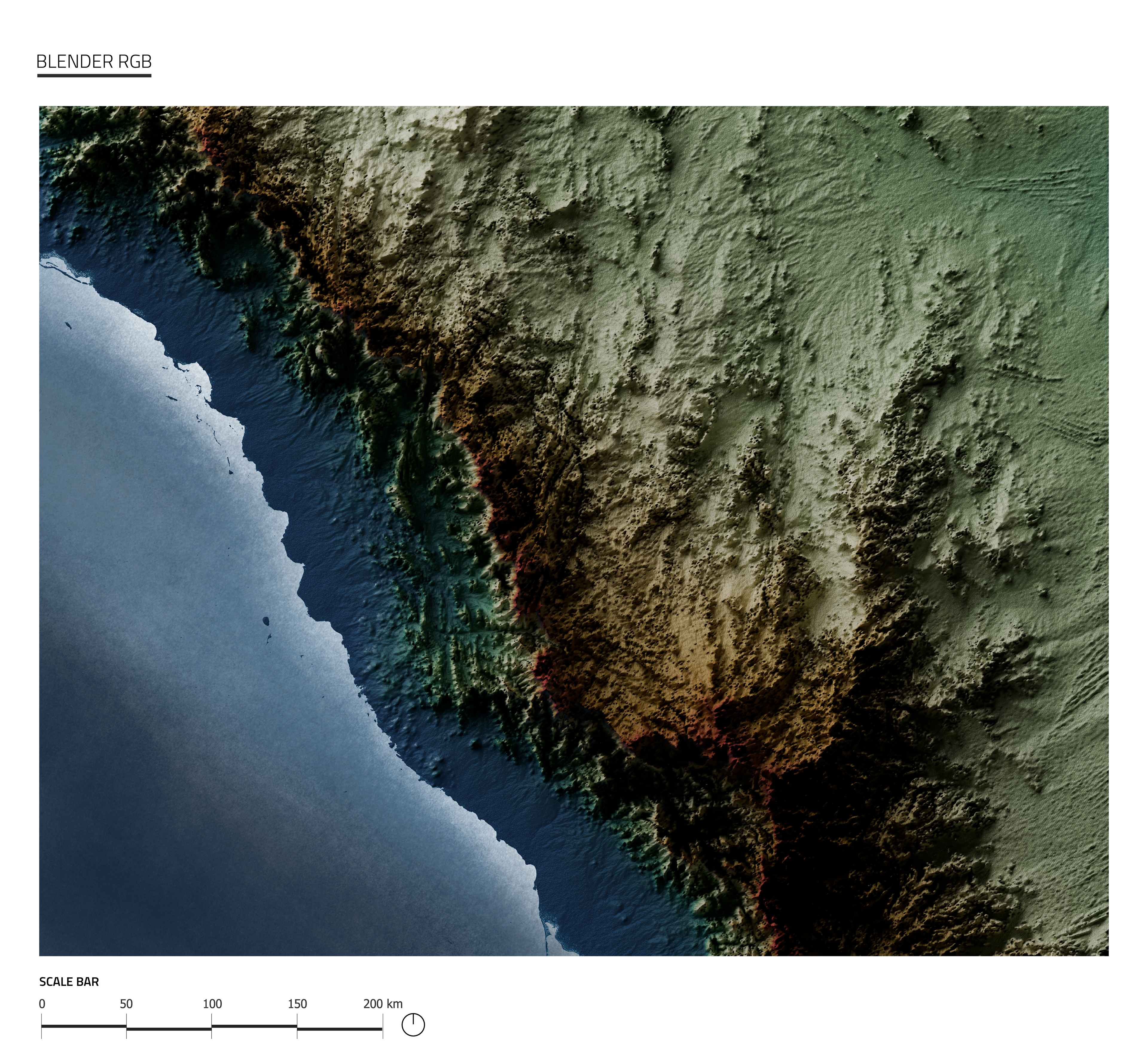
I took the Hillshade map to a new dimension by creating a 3D model. It allowed for a realistic representation of the terrain, showcasing the study area's rugged with advanced modeling and lighting techniques. The 3D Hillshade map highlighted the terrain details.
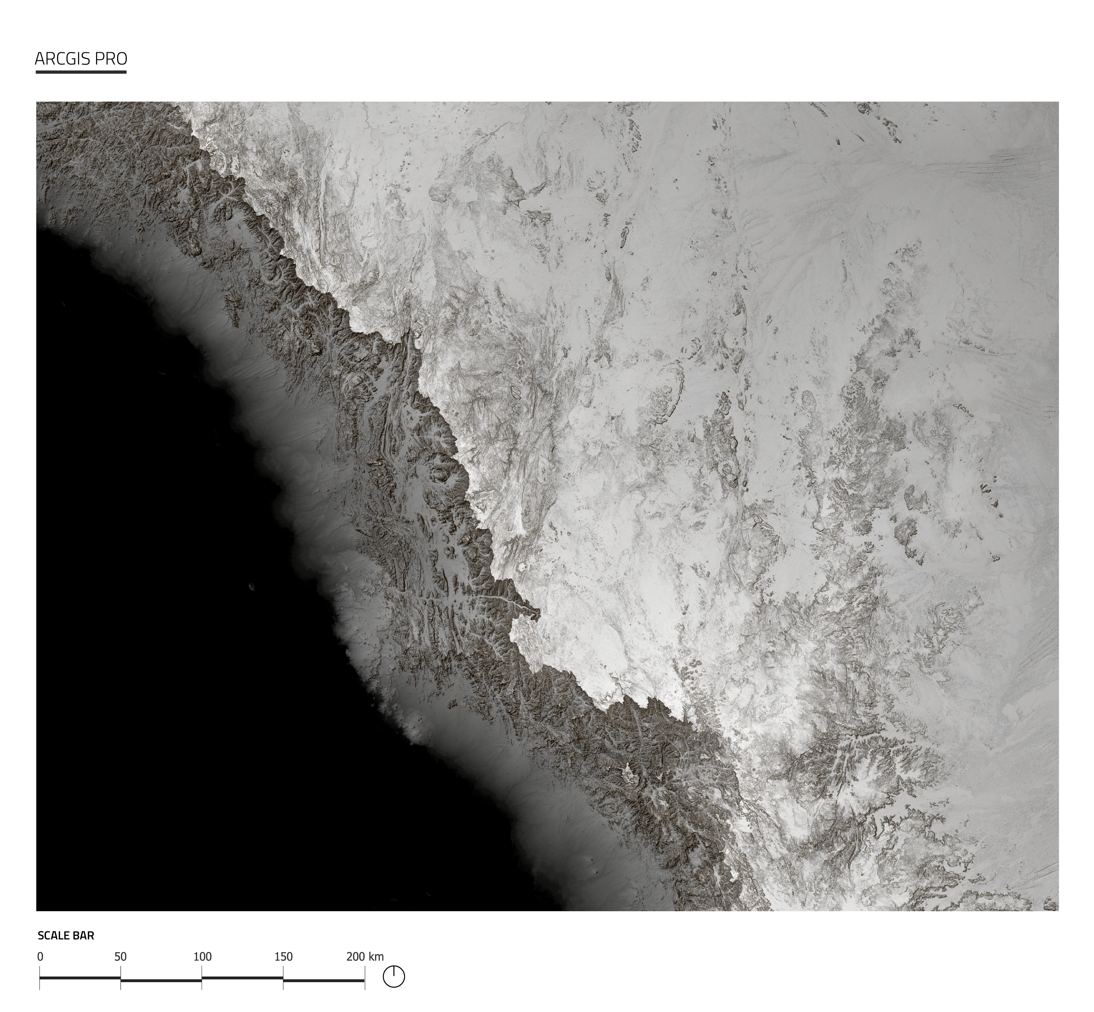
I applied a blur to three layers and then analyzed the Hillshade layer using Raster Function. This approach, inspired by John Nelson's method for creating Hillshade maps, resulted in a map with superior accuracy and clarity compared to traditional techniques. The enhanced output was more effective and visually compelling.
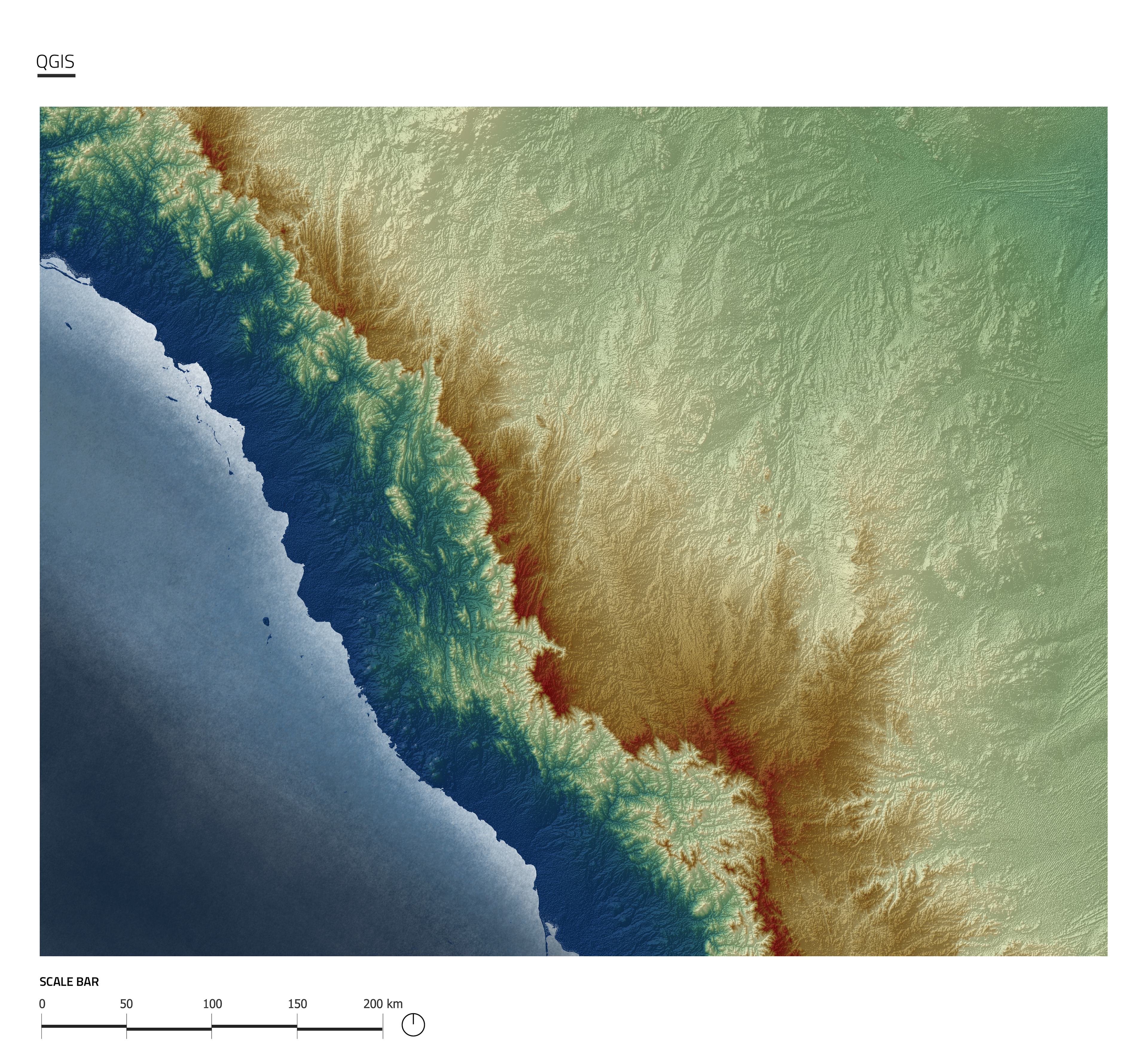
It allowed me to enhance terrain details significantly. Utilizing a variety of tools within the Symbology section, I improved the clarity of shadows and terrain features. The user-friendly interface made it easy to achieve a detailed representation of the rugged terrain of the study area.